

for Norway and Iceland (1999-2002) CHALLENGE: to complete UNCLOS seismic and bathymetric surveys on the seabed 200 NM beyond Norwegian and Icelandic waters (i.e. beyond the EEZ). Norway and Iceland aimed to extend their influence in these waters. HRSS/HRGS ROLE: Offshore Client Representative. Representing the interests of the Norwegian Governmental...
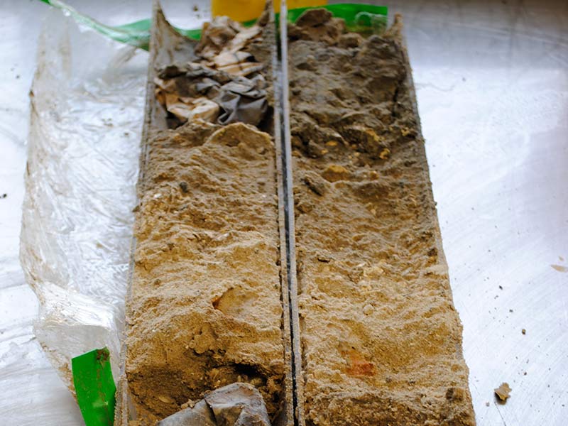
A SYNTHETIC MODEL for BP UK (2014-2015) CHALLENGE: to derive a synthetic model for assessing boulder identification and distribution of shallow geology and then to plan the field acquisition of the data-set in order to confirm viability of this technique. This is in an area where seabed strength prevents conventional...

