Archaeological projects have included collaboration with NTNU, Norway; Groningen Archaeology Department, the Netherlands; The Rising Tide Project, Orkney and the Norwegian Maritime Museum, Oslo.

Paleo-landscape evaluation and archaeological survey experience is becoming increasingly sought after in the energy field. Hurray! Detailed mapping and historical occurrences provide us with invaluable environmental information and meet a host of legislative requirements.
Archaeological projects have included collaboration with NTNU, Norway; Groningen Archaeology Department, the Netherlands; The Rising Tide Project, Orkney and the Norwegian Maritime Museum, Oslo.



Operations planning
Quaternary Geology and Marine Seismic-Acquisition Specialist
ROLES undertaken on a consultation or advisory basis:
Project Engineer, Subsea Engineer, Lead Project Engineer, Approved Offshore Technical Representative, Project Manager (with interface responsibilities), Company Offshore Representative (routing and survey), Project Geologist
EQUIPMENT FOR HIRE
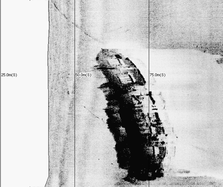
Archaeological and near-shore surveys
A SIDESCAN SONAR SYSTEM: CMAX sonar with high and ultra-high frequency. Towed and fixed mount available. Ideal for water depths from 5m – 100m. (http://www.cmaxsonar.com/)
HRSS can also provide data interpretation and report on acquired results.

